
Corona Forestal
Scented Canary-pine forest on route options outside Teide National Park, where legal access and current conditions allow.
Route snapshot
Routes
3
Distance
8–12.5 km
Elevation
200–500 m of height change
Difficulty
Low to moderate
Minimum age
From 8 years
Price
From €260 for a group of 1–2 guests
Corona Forestal — pine forest, volcanic terrain and open highland
Corona Forestal brings together Tenerife's pine forest, volcanic terrain and open highland landscapes. Routes in this area move through a very different side of the island: young lava formations, Canary pine forest and wide mountain views, with the exact option selected according to the group, weather and current conditions. Guided routes are offered in the Corona Forestal area outside Teide National Park, where legal access allows.
Where the Lava Stopped
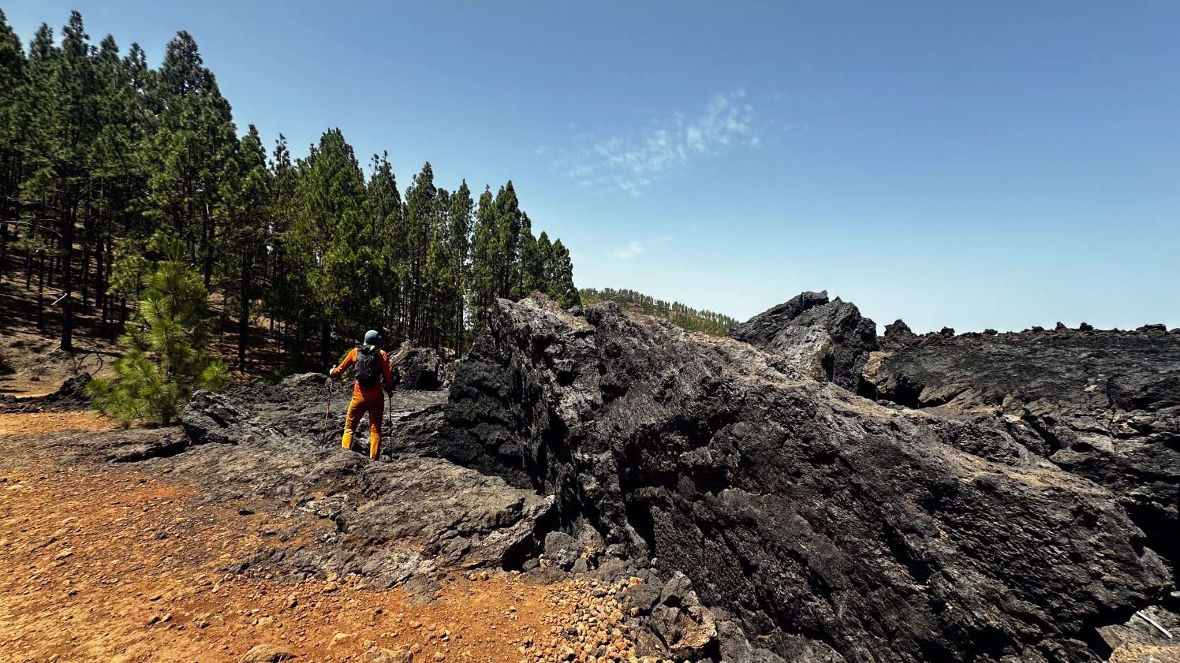
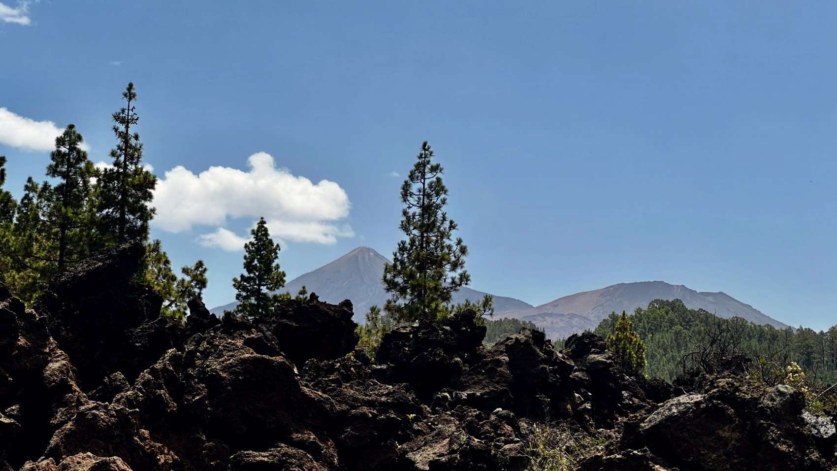
A route across the lava fields of Chinyero, the area of the last historic eruption on Tenerife, which began on 18 November 1909. Here it is especially clear how young dark lava gradually meets the Canary pine forest and an older volcanic landscape.
Tenerife’s Lunar Landscape
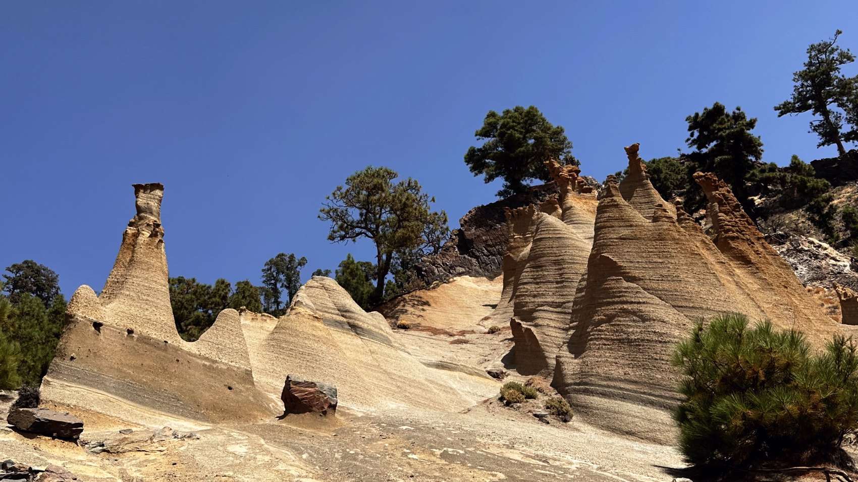
One of the most iconic walking routes on Tenerife: a way through the Canary pine forest to the famous pale volcanic formations that resemble a lunar landscape.
Above the Clouds
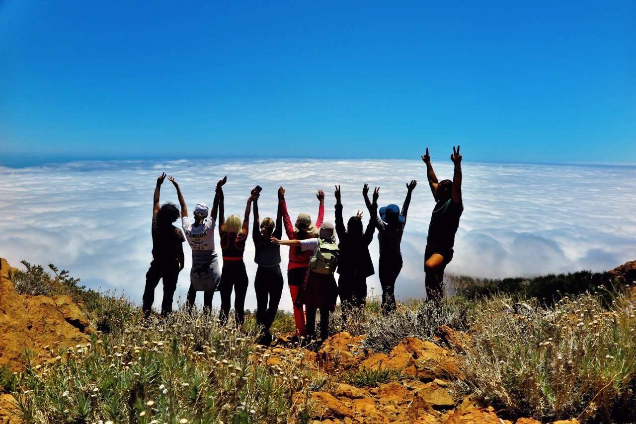
A route through the high country above Vilaflor, through Canary pine forest and open volcanic terrain. This is a more sporting option for anyone who wants a full day in the mountains.
Who it is for
hikers who want high-altitude forest air and quiet, wide trails.
Included
- Guiding by a certified TD2 Media Montaña mountain guide
- Route planning and adaptation to the group and current conditions
- Pre-hike preparation information
- Professional liability insurance and participant insurance for registered activities
Not included unless stated otherwise
- Food and drinks
- Restaurant visits and ordered meals are paid separately
- Personal hiking equipment
- Transfer
- Additional external services
Transfer may be available by prior arrangement for groups of up to 4 guests. Availability and price are confirmed separately.
Preparation and equipment
Footwear
Worn-in hiking boots or trail shoes
Equipment
- Light daypack around 20-30 L
- Waterproof jacket
- Warm layer
- Sun protection
- 1.5-2 L water capacity
- Personal medication
- Swimsuit
Training
Regular walking and basic fitness before the trip
Documents
Travel and identity documents required for the participant journey
Guidance
- Trekking poles are provided on site
- Final route implementation depends on weather, trail conditions, group fitness and guide judgement
A region is a starting point, not a booking
Every region holds several possible routes. Picking Anaga over Teno tells me what kind of landscape you want — the actual route inside it is confirmed once your dates, level, group and the day's conditions are checked.
Weather & conditions on the day
What the mountain is actually doing that day.
Group fitness & experience
An honest pace for the people walking.
Legal access & restrictions
Where guiding is permitted, with current limits.
Transport feasibility for your group
Transport is not included — you reach the meeting point.
How to book
I will confirm the route after checking your dates, level, group, current conditions, legal access, and transport feasibility.